News / Design perspectives
Designing for Place: A Sandpoint Site-Planning Guide
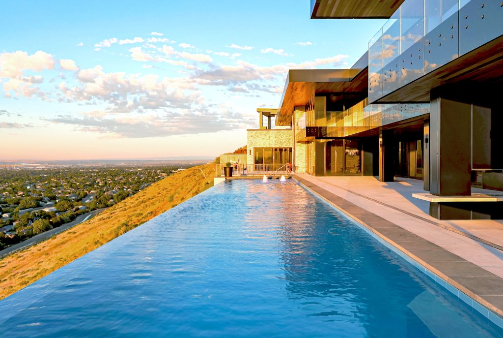
From the HDG project portfolio.
Site planning establishes how a building belongs to its property. For a Sandpoint project, evaluate views alongside access, landform, daylight, privacy, and outdoor use. Begin with observations and verified information before committing to a building position or floor plan.
A property can feel compelling on the first visit. A long view, a stand of trees, or a quiet edge may suggest where a building should go. Thoughtful site planning tests that first impression against the practical experience of arriving, living, working, and maintaining the property.
This Sandpoint site-planning guide offers a framework for those early conversations. It focuses on the land and the building’s placement; our custom-home design guide looks more closely at household routines and interior relationships.
Distinguish observations from verified site information
Start with an inventory of what you know. Photographs communicate character. A survey can establish information about boundaries and site features within its scope. Specialist investigations may be needed to understand ground conditions, drainage, or other questions that a visit cannot answer.
Label uncertainties explicitly. A fence is not a substitute for confirmed boundary information, and an attractive level area should not automatically be treated as the buildable area. Ask the design team which records and investigations are needed, who provides them, and when the results should inform design decisions.
| Information | What it helps explore | Question to resolve |
|---|---|---|
| Survey and property records | Boundaries, recorded information, and mapped features. | Is the available information current and sufficient? |
| Topography and ground conditions | Building placement, levels, and potential investigation needs. | Which specialists should evaluate unresolved conditions? |
| Access and services | Arrival routes and connections serving the project. | What is existing, confirmed, or still to be established? |
| Site photographs | Views, neighboring context, vegetation, and daily experience. | Which directions and times of day are missing? |
| Planning information | Land-use context and the appropriate review process. | Which authority and parcel-specific requirements apply? |
Study views from the spaces that will use them
A view is more useful when connected to an activity. Consider the outlook from a dining chair, a kitchen work surface, or a place to read. A sweeping panorama may suit a shared room, while a bedroom benefits from a quieter and more private foreground.
Record near views as well as distant ones. Trees, rocks, a garden, or a small courtyard can create a sense of place even where a long view is unavailable. Explore what the building should frame, what it should screen, and how those choices change along the route through the property.
Evaluate daylight and exposure together
Visit at different times when possible and note where light reaches the ground, where existing trees cast shade, and how neighboring buildings affect exposure. Discuss how the pattern could change through the year. A single afternoon photograph cannot describe the whole experience.
Connect those observations with room use. Morning light may be welcome in one area, while direct sun could create glare at a workstation. Window position, shading, room depth, and furniture placement should be considered together. Ask the architect how alternative building orientations would change comfort and the quality of light.
Plan arrival before treating it as leftover space
The approach shapes the first experience of a building, but it also has practical responsibilities. Trace the routes used by residents, visitors, deliveries, and maintenance. For a home, test the connection from parking to groceries and storage. For a commercial project, examine where customer and service movements might conflict.
- Wayfinding: Is the intended entrance understandable from the approach?
- Transitions: Where do people pause, remove wet clothing, or wait under shelter?
- Outdoor activities: Which routes connect gathering areas, storage, and the building?
- Seasonal upkeep: Where could cleared snow, equipment, or stored furniture go?
- Privacy: What can arriving visitors see into shared and private spaces?
Use these questions to compare options rather than assuming one arrival arrangement suits every site. Access and service requirements should be confirmed with the appropriate project professionals and reviewing authorities.
Work with landform and valued landscape features
Explore more than one relationship between the building and the ground. Moving a footprint, changing floor levels, or adjusting the arrangement of rooms can alter the need for grading and retaining elements. Ask the team to explain those consequences before the preferred form becomes too fixed.
Identify vegetation or other features you hope to retain, then investigate whether that goal is compatible with the work. Protecting a valued tree involves more than drawing its trunk on a plan. Discuss appropriate specialist input and how construction activity, access, and landscape work could affect it.
Confirm the planning context for the actual parcel
The City of Sandpoint’s zoning map identifies zoning districts within the city. Its planning and building permit page provides application resources and preapplication information. Begin by confirming the authority responsible for your property, then ask which resources and requirements apply to the proposed work.
If a property has waterfront, drainage, slope, or other potentially sensitive conditions, identify the relevant investigations early. These conditions deserve project-specific evaluation. A planning map or preliminary sketch alone does not settle every question about what can be built.
Record light, views, access, context, and valued features.
Resolve information gaps and confirm the planning context.
Compare building positions against the project’s priorities.
What should a useful early site study help you decide?
It should make the differences between plausible options understandable. Compare arrival, privacy, outdoor use, daylight, and the implications of working with the ground. Record the reasons for a preferred direction and the unknowns that still require investigation. That creates a stronger basis for developing the architecture.
Discuss your Sandpoint property with HDG
Bring a location, available records, photographs, and a short list of what you value about the place. Learn about our architecture and interior design studio, explore Selected Works, or start a conversation about your site. The first step is understanding the property well enough to ask better design questions.
More from News
Good design starts with a conversation.
Tell us what you have in mind →